
Absolute vs. Relative Accuracy: Which One Should Your Drone Mission Rely On?
By Damon Johnson, Founder of Raising Drones
If you’re getting into drone mapping, you’ve probably seen the words “absolute accuracy” and “relative accuracy” thrown around. At first, they might sound like something out of a high school science book. But don’t worry—these aren’t complicated ideas once you break them down. And trust me, knowing the difference can save you time, money, and stress on your drone jobs.
So let’s clear up what these terms mean, when you need one or the other, and how to get the most accurate results from your drone missions.
What Is Relative Accuracy?
Let’s start with relative accuracy. This type of accuracy looks at how well different points on your map line up with each other. It’s all about the relationships between objects in your drone data.
Imagine you’re mapping a construction site. If the roads, piles of dirt, and buildings all look right in relation to each other, that means you’ve got good relative accuracy. The measurements between those points are reliable—even if the whole map is shifted a few feet from its real-world location.
You don’t always need the exact location on Earth. Sometimes, it’s enough just to see what’s changed over time.
Here’s when relative accuracy is usually good enough:
Tracking progress on job sites
Measuring stockpiles or dirt volumes
Checking crop health in agriculture
Doing 3D modeling for visual planning
Basically, if you don’t need to line your map up perfectly with GPS coordinates or legal property lines, relative accuracy will do the job.
What Is Absolute Accuracy?
Now let’s talk about absolute accuracy. This is the real deal. Absolute accuracy tells you how well your map matches up with real-world coordinates—like latitude and longitude.
For example, if you need to show that a power line runs exactly 12.7 feet from the edge of a property, or that a pipeline crosses a specific point on a GPS map, you need high absolute accuracy.
This kind of accuracy is super important for:
Land surveys and property boundaries
City planning and engineering projects
Disaster response and emergency services
Mapping for GIS (Geographic Information Systems)
To get this level of accuracy, you’ll usually need some extra tools and planning.
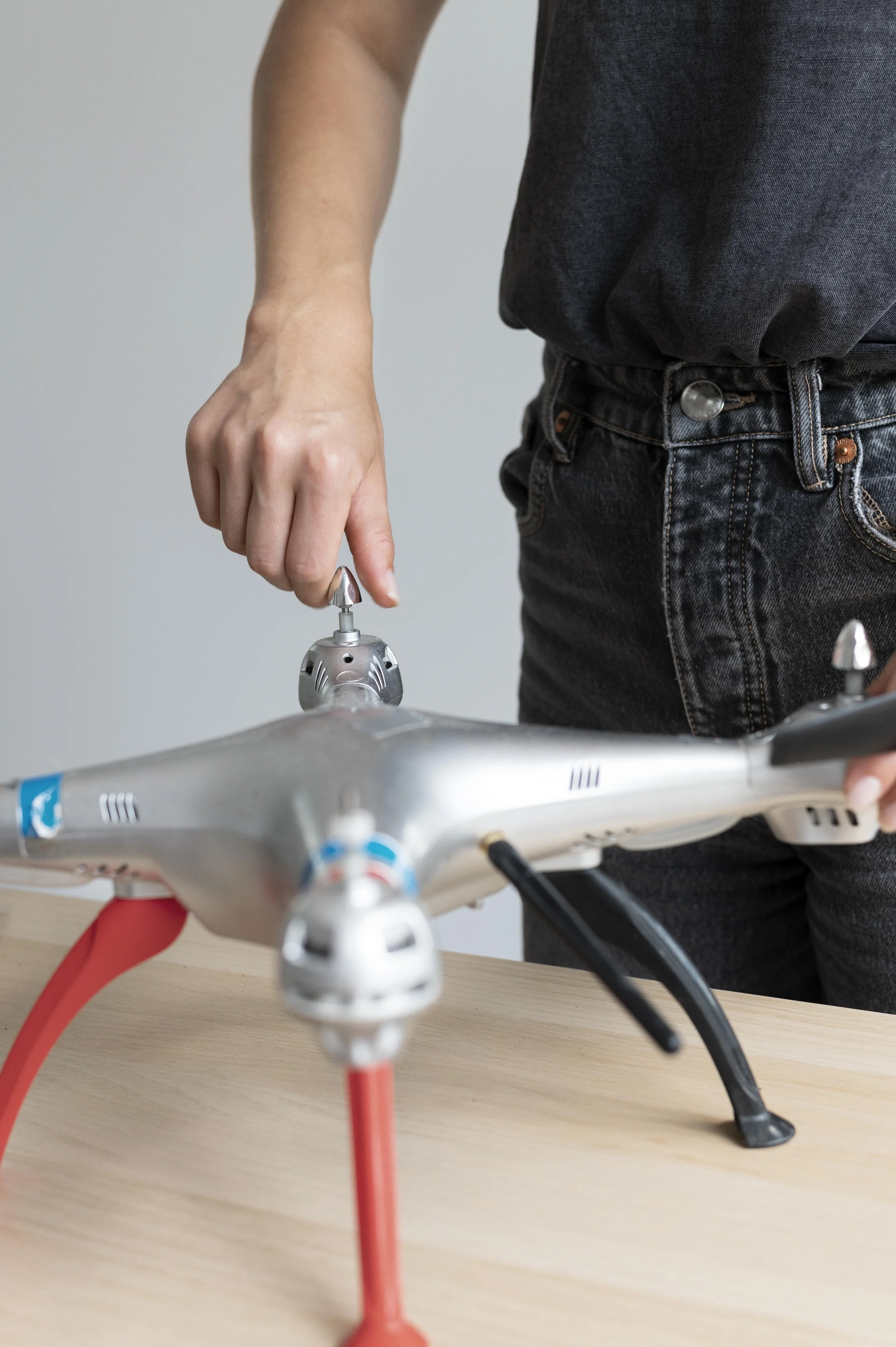
Tools That Help With Accuracy
Here are a few tools that drone pros use to get better accuracy in their mapping jobs:
1. Ground Control Points (GCPs)
These are special markers placed on the ground with known GPS coordinates. You fly your drone over them, and the software uses the points to “lock in” your map to the right location. GCPs boost both relative and absolute accuracy.
2. RTK and PPK Systems
These are high-end GPS systems built into some drones. RTK stands for “Real-Time Kinematic,” and PPK is “Post-Processed Kinematic.” Both work by correcting the drone’s GPS signal to get you pinpoint accuracy—down to a few centimeters in some cases.
Drones like the DJI Mavic 3 Enterprise and Phantom 4 RTK have these systems built-in.
3. Good Flight Planning
Sounds simple, but it’s important. Flying at the right height, with good lighting, and getting plenty of image overlap helps the software create better maps—no matter which accuracy you’re aiming for.
So... Which One Do You Need?
This is the big question: Do you need absolute or relative accuracy for your drone job?
Here’s a quick way to decide:
Choose relative accuracy if you're focused on what’s changing or how things look in relation to each other. This is usually cheaper and faster because you don’t need extra equipment or setup.
Go for absolute accuracy if you’re working with official property lines, legal documents, or anything tied to GPS coordinates. Yes, it takes more work and equipment—but it’s worth it when every inch counts.
Still not sure? Ask your client what they plan to use the data for. If they say “surveying,” “GIS,” or “engineering,” play it safe and aim for absolute accuracy.
Real-World Example
Let’s say you’re hired to map a large farm. If the owner just wants to see where the dry patches are or track crop growth, relative accuracy is more than enough. But if they want to divide the land for sale and need to show where each section starts and ends, you’ll need absolute accuracy to match legal land records.
Wrap-Up
Understanding the difference between relative and absolute accuracy can make or break your drone mission. It helps you choose the right tools, plan better, and deliver exactly what your client needs.
Here at Raising Drones, we’ve helped tons of new pilots get comfortable with these ideas and turn them into real-world skills. Whether you’re just flying for fun or getting serious about starting a drone business, we’ve got your back.
And if you’re ever stuck wondering, “Do I need GCPs for this job?” or “Is RTK overkill for this project?”—just reach out. We’ll help you get it sorted out without all the tech-speak.
Fly smart. Fly accurate. And above all - fly like you mean it.
Damon